Riverlorian.com
River Books by Riverlorian, Jerry Hay
The following books are available in digital form only. A download of the books to your device can be made by clicking the option at the bottom of each listing, then following instructions after payment is made.
Beyond The Bridges
Beyond The Bridges takes the reader through all aspects of river life. From canoes to steamboats, from river history to river lore. It is both a great reference book for those who wish to do their own river boating and has entertaining chapters about the author's own mishaps and adventures. Jerry Hay began is river adventures on the Wabash River in Indiana and has since traveled and made river maps on many rivers by canoe, kayak, steamboats, powerboats and even towboats. Millions of people cross bridges each day with no idea of the adventure, power, and magic that a river offers. After reading this book, one will look at the rivers differently while glancing over the guard rail at the waterways below. He or she will know what it is really like.......Beyond The Bridges Download Ebook for $7.00 (12 MB)


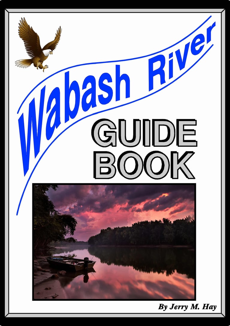
Wabash River Guidebook
The Wabash begins as a tiny stream near Ft. Recovery, Ohio. As it flows on it's nearly 500 mile course, it eventually takes on size and becomes a great river before flowing into the Ohio River. The remarkable thing about the Wabash is that much of it offers the same remoteness and beauty that the early explorers saw over 200 years ago. It has not been over-developed or greatly changed as many rivers have. Also the good news is that it is much cleaner than it was 50 years ago and getting healthier each year. Being so natural, it does have hazards and challenges. A wise boater should go prepared.
The guide book has the river broken down into 35 sections with detailed charts and descriptions. Geographic and historical information is also included. The 82 page book has 95, mostly color photographs showing important features. A new section has been added called "Reading the River". It has great advise for traveling rivers safely, particularly on rivers with no navigational aides, like the Wabash.
ISBN 978-1-60585-215-7
All adjacent highways, roads and communities Hazards identified. Launching ramps. Supply, fuel and food locations. Points of interest. Bridges and local access. Mile marks. Parks and camps. GPS Coordinates. River travel tips
Download Ebook for $7.00 (111 MB)
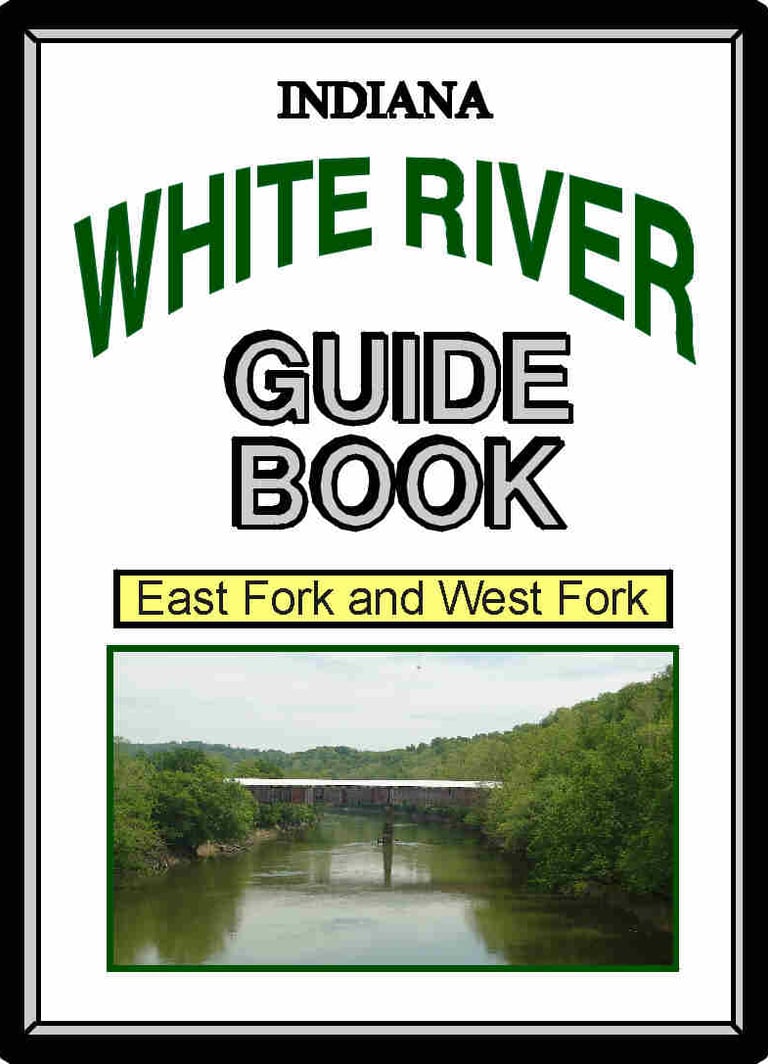
White River Guide Book
Indiana's White River is actually two rivers. The West Fork of the White River begins near Muncie, Indiana as a run-off from a field. The East Fork begins at Columbus, Indiana at the confluence of two other rivers. Both rivers are respectable in size and length. By they time the forks join, the White River is the largest tributary to the Wabash River, which is the largest northern tributary to the Ohio River, which is interestingly the largest tributary to the Mississippi River.
The White River Guidebook includes both the East and West Forks. It features over 75 mostly color photos and 37 charts. Important information is included regarding low-head dams that must be portaged. The White Rivers have 184 bridges and 173 tributaries. All are important to know the location of. "Reading the River" chapter is also included with this book.
ISBN 978-1-60585-216-4
All adjacent highways, roads and communities Hazards identified Launching ramps. Supply, fuel and food locations. Points of interest. Bridges and local access. Mile marks. Parks and camps. GPS Coordinates. River travel tips
Download Ebook for $7.00 (83 MB)
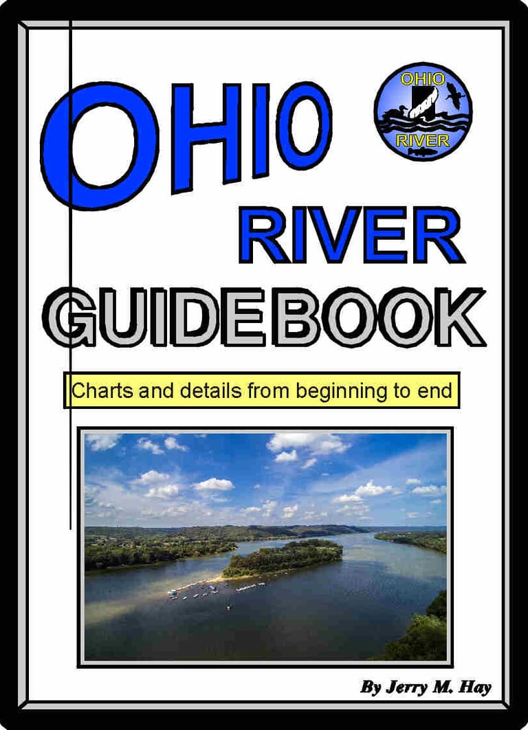
Ohio River Guidebook
This guidebook has it all! No cruising guides, charts or digital sources have as much detailed information in one source. Don't chance running out of fuel, food or supplies. Know where the hazards are. Be prepared for your river cruise or float by having all the information in one source, plus listings of great places to visit or stay. This book has no advertising. All the pages are dedicated to providing complete and useful information for boaters and paddlers.
Complete information about each lock and procedures for locking through. Marina information, along with other places along the river to purchase fuel. Anchorage locations, included all tributaries and island chutes that are adequate. Locations to find food, supplies, groceries, repairs and many other helpful services. Information about cities, towns, and communities along the river. Historic accounts at river locations are included, making a river trip even more interesting. All highways and roads along or leading to the river are shown in each section. ISBN 978-1-60585-217-1
The entire 981 miles are covered 186 Pages in full color 89 Section charts and descriptions 209 photographs All 704 Tributaries are shown 88 Islands mapped and described 240 Boat launching ramps GPS Coordinates Distance markers Warning inserts
Download Ebook for $9.00 (268 MB)
Tennessee River Guidebook
Explore the beautiful Tennessee River and be safe with this complete guide. The river is being broken down into 57 sections and each chart and description is in great detail. In addition to navigational information, this book shows historical locations and many great places to visit.
There are several large lakes on the Tennessee River, giving it the nickname "Great Lakes of the South". They are formed by some impressive Locks & Dams. This book will provide all the information needed for each lock, including the approach, the amount of lift, radio channel, phone number. There is also a special section about locking procedures, so that boaters will have a good experience locking through. ISBN 978-1-61658-589-1
Entire 652 miles from Knoxville, TN to Paducah, KY
122 Pages with full color photos. 57 Section charts and descriptions. 176 photographs. Tributaries and lakes are shown. Islands mapped and described. Boat launching ramps shown. GPS Coordinates. Distance markers. Warning inserts. Marina locations and info.
Download Ebook for $8.00 (255 MB)
Cumberland River Guidebook
The Cumberland River is one of the jewels of the south and offers a great deal of natural beauty for boaters, floaters and paddlers.
This book will provide all the information needed for each lock, including the approach, the amount of lift, radio channel, phone number. There is also a special section about locking procedures, so that boaters will have a good experience locking through.
The headwaters section is for paddlers only, but all details are included, like hazards, rapids, and portages. A special section is included called "Reading the River" for those paddling the headwaters. Lake Cumberland is also included in great detail. ISBN 978-1-4507-2458-6. Entire 695 miles from Harlan, KY to Smithland, KY
124 Pages with full color photos. 58 Section charts and descriptions. Many photographs. Tributaries and lakes are shown. Islands mapped and described. Boat launching ramps shown. GPS Coordinates. Distance markers. Warning inserts. Marina locations and info.
Download Ebook for $8.00 (119 MB)
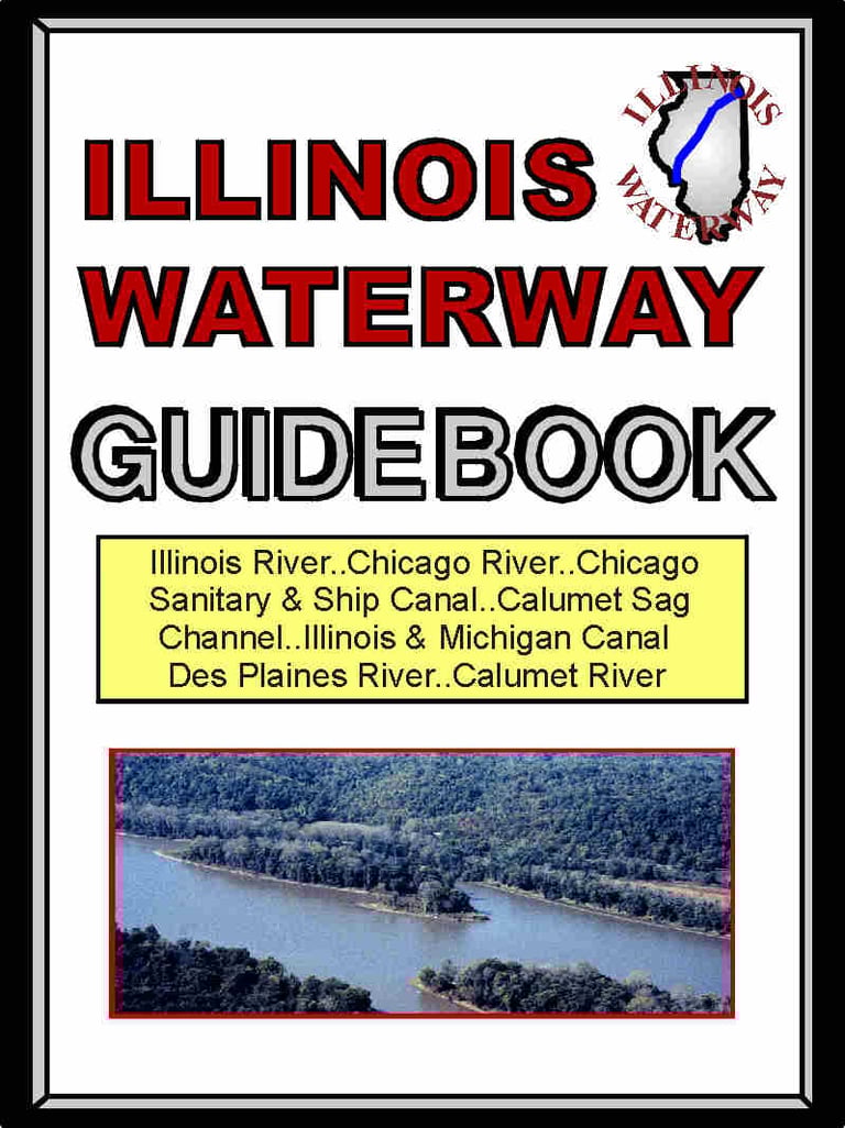
Illinois Waterway Guidebook
Covers rivers and canals that allow passage from the Mississippi River to the Great Lake System. Includes all the features included in the Ohio River Guidebook. This guidebook includes charts and information about the Illinois River, Des Plaines River, Chicago River, Cal-Sag Canal, Calumet River, and the Chicago Sanitary & Ship Canal. Marinas and supply locations are mapped and information is provided about them.
The Illinois Waterway is the only navigable connection between the Mississippi River Basin and the Great Lakes. It is an important waterway for those cruising the "Great Loop".
Most of the waterway is the beautiful Illinois River. Along with charts and navigation information, this book provides insights to local history and the cities and towns along the way.
ISBN 978-1-60743-856-4
Entire river system from Lake Michigan to the Mississippi River. 100 Pages in full colo.r 46 Section charts and descriptions. 119 photographs. All Islands mapped and described. Boat launching ramps. GPS Coordinates. Distance markers. Warning inserts
Download Ebook for $7.00 (76 MB)
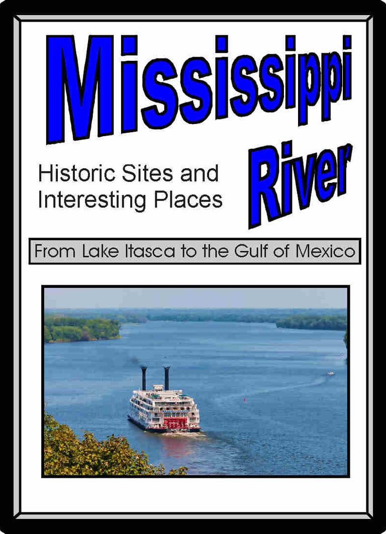
Mississippi River - Historic Sites and Interesting Places
From the headwaters at Lake Itasca, Minnesota to the Gulf of Mexico, the Mississippi River is rich in history and reveals many interesting stories and sites along its banks.
This book is not for navigation. It is for those interested in learning about sites and history of the river, by following the maps that are accompanied by narratives in mile marker order.
Though not for navigation, this book does provide a great supplement to charts and other navigational aids for boaters traveling the river. It is also great for those traveling along the river on the Great River Road
ISBN 978-1-4675-6250-8
The entire 2,340 miles of the Mississippi River
122 Pages in full color. 30 detailed maps. 176 photographs. Tributaries and lakes are shown. Locks and Dams information. Islands mapped and described. All 87 bridges shown. Notations of interest on maps
Download Ebook for $7.00 (66 MB)